Geology
Measured From the Seabed, Teide Is 7,500 m Tall
What the two numbers actually mean
Elevation is a geographic convenience. It measures distance above mean sea level, which matters for air pressure, climate zones and maps. It does not measure the thing itself. An ocean-island volcano like Teide is built from the ocean floor upward; most of its mass lies underwater and contributes nothing to its elevation. The summit at 3,715 m is the visible tip of a cone that rises from a base far below the surface, depending on where you draw the line between volcanic edifice and ordinary seafloor. The whole stack (sunken base to summit) comes to about 7,500 m.
That is not a clean measurement. The base of an ocean-island volcano is not a sharp contour. The weight of the edifice pushes the underlying crust downward, creating a broad depression known as a flexural moat, and the volcanic pile grades into the surrounding abyssal plain. A figure of about 7,500 m is therefore a modelled estimate, and different modelling choices produce different numbers. The important point is structural: the volcano is roughly twice as tall as its elevation suggests.
| Measure | Figure |
|---|---|
| Elevation above sea level | 3,715 m |
| Total structure, seabed to summit | about 7,500 m |
| Therefore below sea level | about 3,785 m |
The same logic applies to every oceanic volcanic island. Mauna Kea in Hawaii is the familiar example: its elevation is modest by Himalayan standards, but measured from its base on the Pacific floor it far exceeds Everest. Teide belongs to that same category of giants that do not look their size because most of them is hidden.
The island that built itself from nothing
Tenerife emerged from the sea roughly 12 million years ago, though that date marks the oldest rocks still above water rather than the moment the first submarine vent began building. The process is slow and repetitive. Magma rises through the oceanic crust, cools, piles up. Successive eruptions add layer on layer until the pile breaks the surface. After that, subaerial eruptions build the visible cone, but the bulk of the structure remains underwater. A submerged mountain that happens to have its top sticking out.
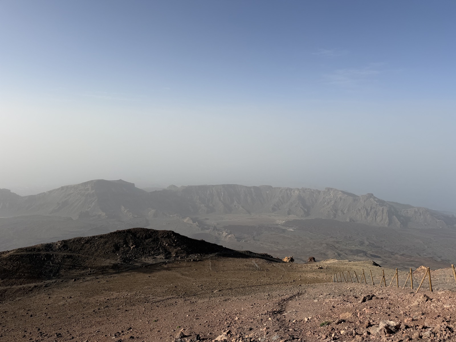
The island grew through three main volcanic phases. The oldest, the Miocene shield volcanoes of the Anaga and Teno massifs in the northeast and northwest, formed separate islands that later merged as the central volcanic complex built up between them. The Las Cañadas volcano, the precursor to modern Teide, then constructed a large central edifice whose summit eventually collapsed in a giant lateral failure about 180,000 years ago. That collapse (the Icod landslide) removed the north flank of the volcano and created the depression inside which Teide and Pico Viejo later grew.
The landslide was not a small event. It tore away a volume of rock measured in cubic kilometres, sending a debris avalanche across the seafloor north of the island. The scar it left is the Las Cañadas caldera, the broad amphitheatre that now frames the modern peak. Teide began forming inside that scar, growing as a post-collapse cone fed by the same magma system that had built its predecessor.
Why a volcano needs two dimensions
The distinction matters because a visitor standing at the cable-car upper station at 3,555 m is not standing near the top of a medium-sized mountain. They are standing on the upper edge of a vertical structure nearly twice that height, most of it out of sight. The air pressure, temperature and oxygen level at the summit are those of 3,715 m. But the volcano’s physical scale (its mass, its thermal history, the pressure on its magma chamber) relates to the full 7,500 m column.
This is not merely a curiosity of measurement. The volcanic plumbing that feeds Teide extends down through the crust to a mantle source far below the seafloor. The ascent of magma through the full vertical column imposes its own dynamics. Pressure gradients, gas exsolution and cooling rates all depend on the total distance, not the part above sea level. A volcano that has built a 7,500 m edifice has a different thermal and structural history from one that is simply a 3,715 m peak on continental crust.
The same argument applies to the hazards. When INVOLCAN and IGN monitor Teide for signs of unrest (seismicity, ground deformation, gas output), they model the entire system from the Moho upward, not just the visible cone. The 2004 seismic swarm, a period of elevated earthquake activity that caused some concern, was understood in the context of a large, active volcanic system whose dimensions are defined by the full edifice, not the tourist brochure.
The hidden mountain
If you could drain the Atlantic around Tenerife, the view would be startling. The island would appear as the summit platform of a conical mountain whose base covers an area roughly comparable to the exposed island itself, but whose slopes continue downward into darkness. The southeast and southwest ridges that form the island’s visible spine would be the crests of broader submarine flanks. The steep cliffs of Los Gigantes on the west coast, which rise several hundred metres from the sea, would be the top edge of a much longer drop.
The underwater flanks of Tenerife have been mapped in detail by research cruises using multibeam sonar. They show a complex topography of lava flows, debris fans from the giant landslides, and sediment aprons. The scars of the Icod and other collapses are clearly visible on the seafloor north of the island. Broad amphitheatres cut into the submerged slopes, evidence that these catastrophic failures are part of the normal growth cycle of oceanic volcanoes.
That cycle (construction by eruption, destruction by flank collapse) is what makes the 7,500 m figure dynamic rather than static. The volcano has been taller in the past, before parts of it slid into the sea. It will be taller again after future eruptions build new cone material. The present measurement is a snapshot of a structure in progress.
Teide in the company of giants
By the base-to-peak measure, Teide sits among the largest volcanic structures on Earth. As with any ranking based on modelled numbers, the exact order depends on what you count and how you define the base. But the essential fact is not disputed. The mountain is far bigger than its summit elevation suggests, and it belongs to the same class as Hawaii’s great shields and a handful of other ocean-island volcanoes around the planet.
That fact is almost never conveyed to visitors. The park literature gives the 3,718 m figure (still appearing on older signs and maps, though the modern surveyed value is 3,715 m). The cable-car commentary mentions the height. The hiking guides note the ascent distance. None of them describes the other several thousand metres below the waterline. The visitor leaves with an accurate elevation and no sense of the structure underneath it.
Standing on the summit at dawn, looking out over the cloud layer that has filled the caldera overnight, it is hard to feel small. You are above the inversion, above the trade-wind cloud, above nearly every other point in the Atlantic islands. But the real scale of the ground beneath your feet (the sunken mountain that continues another four kilometres down into cold water and then into the crust) is something you can only know, not see.