Geology
Inside Teide's Summit Crater: Pilón de Azúcar
You stand on the crater rim at 3,715 m. The wind is thin and cold, and the air carries a sharp, mineral smell — sulphur, unmistakable. Below you, the crater floor is a shallow bowl perhaps 80 m across, pale with yellow crusts near the vents, the ground warm underfoot in places. This is the Pilón de Azúcar, the summit cone of Teide, and the highest point in Spain.
The shape and size of the summit crater
The crater at the top of the Pilón de Azúcar is small — surprisingly small for a volcano of Teide’s stature. Its diameter is roughly 80 m, which makes it about one-tenth the width of Pico Viejo’s crater, which measures some 800 m across. The floor is not a deep shaft but a gentle depression, perhaps a few metres below the rim. The rim itself is a narrow ridge of loose rock and compacted ash, with the highest surveyed point at 3,715 m (12,188 ft). Older maps and signs still show 3,718 m; the discrepancy arises from improved measurement methods and minor topographic changes, and the modern figure of 3,715 m is now the accepted official elevation.
| Feature | Dimension | Notes |
|---|---|---|
| Summit crater diameter | ~80 m | Pilón de Azúcar, Teide’s final cone |
| Pico Viejo crater diameter | ~800 m | Larger, older cone to the west |
| Summit elevation (modern) | 3,715 m (12,188 ft) | Highest point in Spain |
| Summit elevation (older) | 3,718 m | Still seen on some maps and signs |
| Vertical drop from La Rambleta | ~160 m | Cable car upper station to summit |
The crater’s modest size means that from the rim you can see the entire bowl in one glance. There is no sense of a vast caldera; this is a precise volcanic punctuation mark, a final vent that erupted material to build the cone we now climb.
Fumaroles and volcanic activity
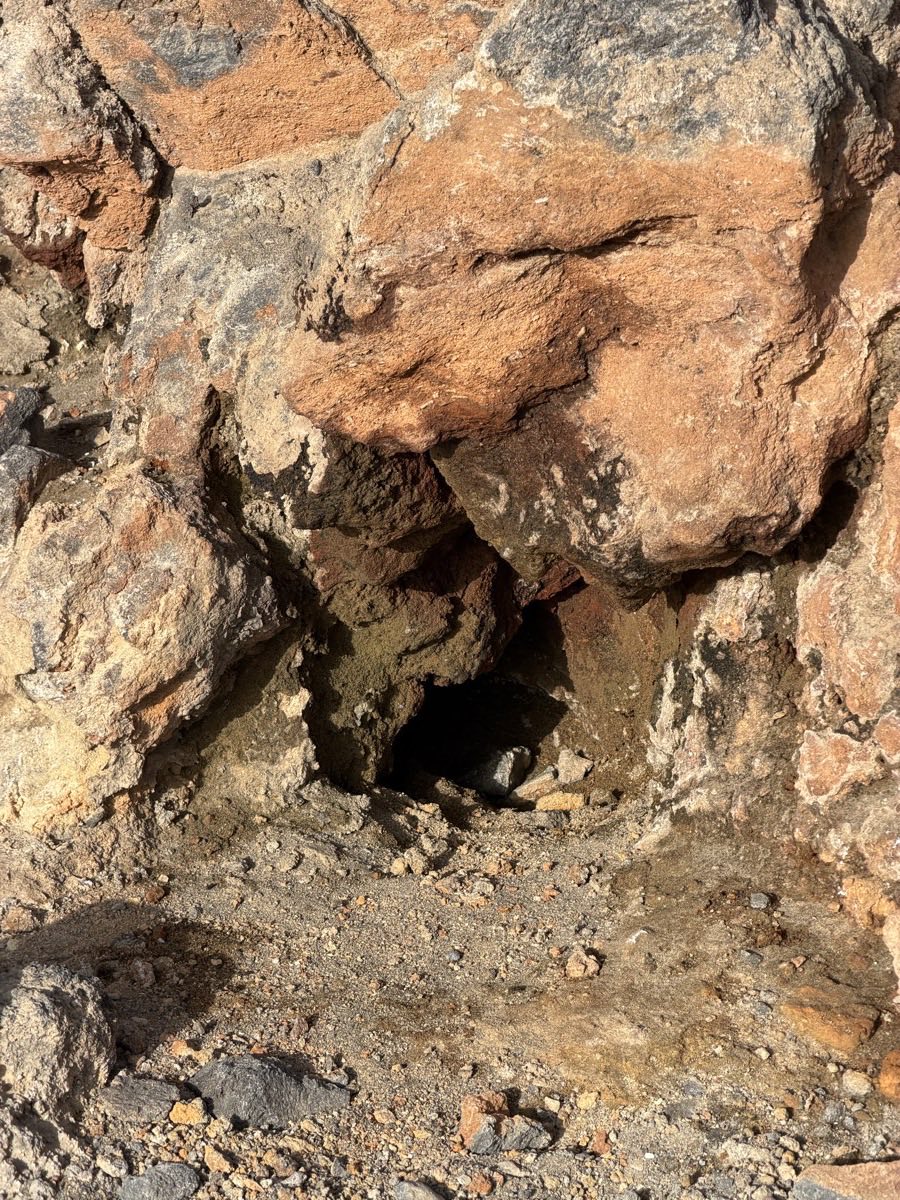
The most immediate evidence that Teide is not extinct lies at the summit vents. Fumaroles — small openings in the ground — release steam and gases, depositing pale sulphur crusts around their edges. The smell of hydrogen sulphide is noticeable, especially on still days, and the rock surface near the vents is distinctly warm to the touch. These are the clearest signs at the summit that a live hydrothermal system operates beneath the cone.
The fumaroles are part of a broader volcanic system that includes gas monitoring by INVOLCAN and IGN. Seismometers and GPS stations track any changes in the mountain’s behaviour. The most recent eruptive activity on Tenerife was the 1909 Chinyero eruption, about 10 days long, and Teide’s own last eruption was the 1798 flank event at Narices del Teide, on the side of Pico Viejo. The summit crater itself has not produced an eruption in recorded history; its activity is far older. The mountain is dormant, not dead, and the fumaroles are a quiet reminder of that.
Visitors are kept on the marked trail at all times. Approaching the vents is not permitted, and the ground around them can be unstable. The warmth and the sulphur are best observed from the rim, where the view also takes in the whole of the crater floor.
Access: reaching the crater rim
The summit crater is accessible only via Trail 10 (Telesforo Bravo), which starts at La Rambleta, the cable car’s upper station at 3,555 m. The trail gains roughly 160 vertical metres over a steep, loose path of volcanic rock and scree. A permit is required — around 300 places are issued per day, and they are often booked out weeks in advance. The cable car itself requires a separate ticket, and the booking window for both was shortened to 56 days in March 2026.
For those planning the ascent, the Teide hiking guide covers permits, trail conditions, and the logistics of combining the cable car with the summit walk. The route is physically demanding at that altitude, even though the distance is short — the thin air and steep gradient make the last 160 m feel considerably longer. The hiking guide covers how long to allow for the climb from La Rambleta.
The Altavista refuge at 3,260 m reopened on 20 July 2026, providing an overnight option for those who wish to summit on foot via Trail 7 from Montaña Blanca, then continue to the crater the next morning. That route is longer — about 8 km from the Montaña Blanca trailhead — and requires an overnight stay at the refuge.
The view from the rim
Standing on the rim, you look down into the shallow bowl, then out across the entire island. To the west, Pico Viejo’s broad crater is visible, its rim a darker line against the sky. To the north, the caldera wall of Las Cañadas rises in a great escarpment, with La Fortaleza cutting a distinct profile. The Roques de García stand below, and on a clear day the coastline is visible in all directions.
The view is not just a panorama — it is a geological cross-section of Tenerife. The caldera, the older cones, the younger flows, and the summit itself are all laid out. The crater is the focal point of that landscape, the place where the island’s volcanic history converges. From here, the scale of the mountain becomes immediate: the 7,500 m from the ocean floor to the summit, the 16 km width of the caldera, the 2,000-year-old pumice cone of Montaña Blanca below.
The name Pilón de Azúcar
The summit cone is called Pilón de Azúcar — “sugar loaf” — a name that describes its shape. The term was used historically for conical hills that resembled the moulded sugar loaves common before granulated sugar became standard. The comparison is apt: the cone rises steeply from the caldera floor, a symmetrical, almost artificial-looking mound of dark volcanic rock, capped by the small crater.
The Guanche name for the whole mountain was Echeyde, associated with the underworld and the spirit Guayota. The Spanish name Teide derives from Echeyde, though competing etymologies exist. The summit cone itself does not carry a separate Guanche name in the records that survive, but the mountain was a sacred site, and the high ground was subject to ritual restriction.
A final note on the crater’s character
The summit crater of Teide is not a dramatic abyss. It is a quiet, contained space, about the width of a football pitch, ringed by a narrow rim of loose scree. Its significance lies not in its size but in its position — at the top of the highest peak in Spain, above an active volcanic system, and at the end of a trail that fewer than 300 people a day are allowed to walk. The fumaroles, the warmth, the sulphur smell: these are the mountain’s own signals, still faintly transmitting from the deep. That is what you stand beside when you reach the rim.