Eruption history
The 1909 Chinyero Eruption: Tenerife's Last
The 1706 Trevejo eruption did not announce itself with a dramatic summit blast. It opened as a fissure on the northwest flank, and the lava that poured out moved with the slow, patient inevitability of something that had all the time in the world. Over the course of a few weeks, it reached the coast and buried the port of Garachico, then the island’s most important commercial harbour. The town survived, but its prosperity did not. Tenerife’s economic centre shifted to Puerto de la Cruz, and later to Santa Cruz. A single eruption rearranged the island’s geography and its history.
That is the pattern with Teide. The mountain does not erupt often, but when it does, the consequences are rarely small.
The landslide that made the caldera
The most consequential event in Teide’s geological history was not an eruption. Around 180,000 years ago, the entire north flank of the island collapsed into the sea. The scale is difficult to grasp: a slab of rock and soil perhaps 1,000 cubic kilometres in volume slid away, leaving a horseshoe-shaped scar that today forms the Icod valley. The debris spread across the ocean floor for hundreds of kilometres.
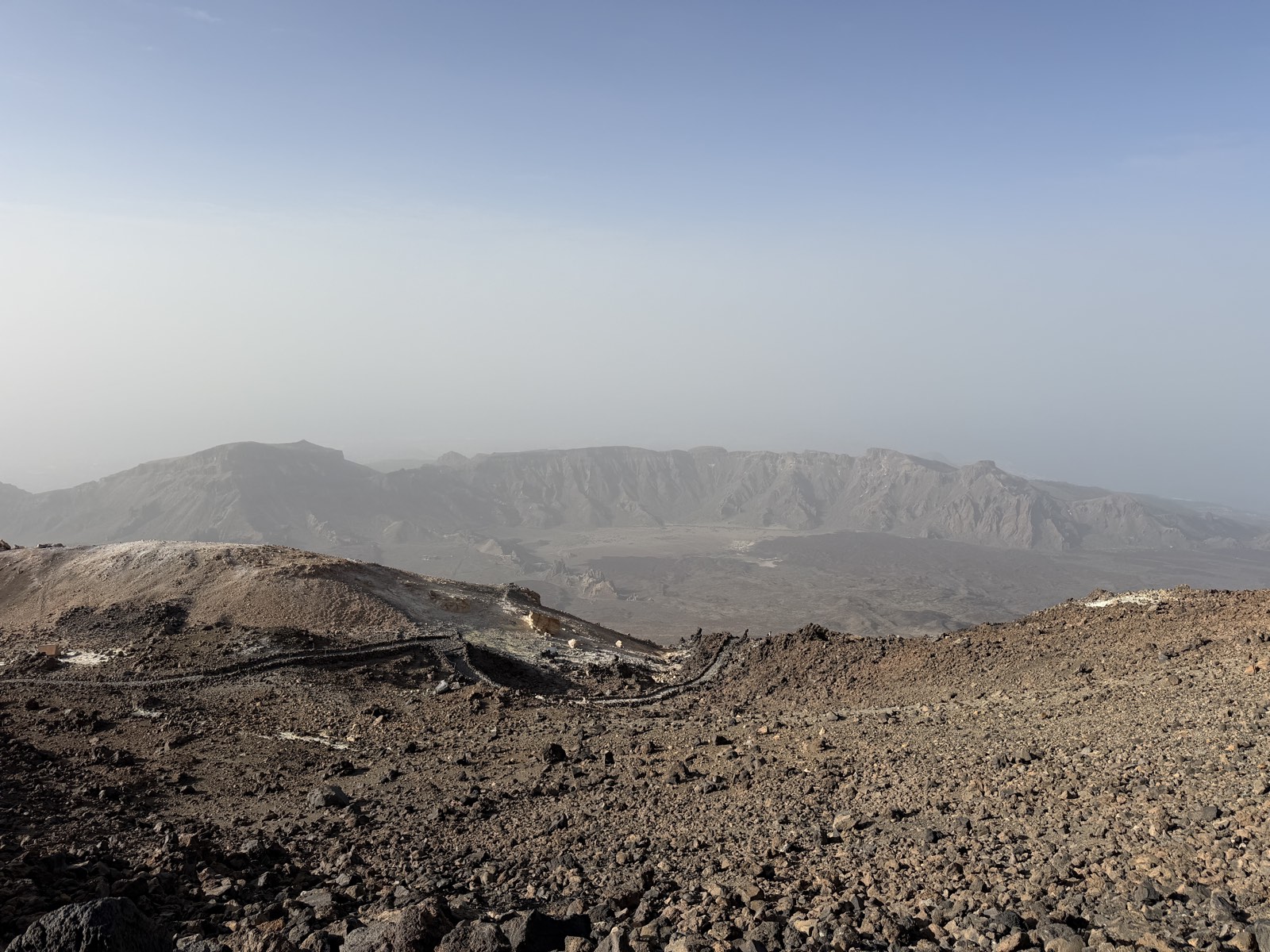
That collapse removed the weight pressing down on the island’s magma system. The result was a new phase of volcanic activity that built the modern Teide and Pico Viejo within the amphitheatre left by the landslide. The Las Cañadas caldera, the vast depression that now contains the national park, is not a volcanic crater in the conventional sense. It is the remnant of that collapse, modified by later eruptions and erosion. The rim reaches about 2,700 metres at Guajara, the highest point on the caldera wall, and the floor stretches roughly 16 kilometres by 10 kilometres.
The historical eruptions
Tenerife has seen six eruptions since the Spanish conquest. None has come from Teide’s summit. The historical record is a story of flank vents, fissure openings and lava flows that threatened settlements rather than the mountain itself.
The 1704–05 eruptions at Siete Fuentes, Fasnia and Arafo
Three vents opened in three months across the island’s southeast flank. The eruptions were not simultaneous, but they overlapped in a way that must have felt apocalyptic to the island’s inhabitants. The first vent, Siete Fuentes, opened in December 1704. Fasnia followed in January 1705, and Arafo in March. Lava covered farmland and forced evacuations, but no major settlement was destroyed. The eruptions were a warning.
Trevejo, Montaña Negra (1706)
This was the eruption that changed Tenerife. The vent opened on the northwest flank, and the lava flow followed the path of least resistance down to Garachico. The port had been the island’s principal harbour for the Atlantic trade, handling wine, sugar and cochineal. The lava filled the harbour and destroyed much of the town. Garachico never recovered its commercial role. The eruption also produced the Montaña Negra cone, a dark scoria mound that still marks the site.
Narices del Teide, Chahorra (1798)
The longest historical eruption on Tenerife lasted about three months, from June to September 1798. It opened on the flank of Pico Viejo, at about 2,700 metres elevation, and produced a lava flow that extended several kilometres down the southwest slope. The vent is known as Narices del Teide, or the Nostrils of Teide, for the twin openings that formed. This was the most recent eruption on Teide itself, and the only one in the historical period that can be attributed directly to the Teide-Pico Viejo system.
Alexander von Humboldt climbed Teide in June 1799, less than a year after the eruption ended. He noted the fresh lava and the still-warm ground near the summit. His account of the ascent, published in his “Personal Narrative of Travels to the Equinoctial Regions of the New Continent”, remains one of the most vivid descriptions of the mountain from the early scientific period.
Chinyero (1909)
The most recent eruption anywhere on Tenerife was also the shortest. Chinyero, on the northwest ridge, erupted for about ten days in November 1909. The lava flow threatened the town of Santiago del Teide but stopped short. The eruption was small by the island’s standards, but it is the only one within living memory for the island’s older residents. No eruption has occurred since.
The 2004 seismic crisis
In 2004, a swarm of small earthquakes shook Tenerife. The events were shallow, concentrated at depths of a few kilometres, and they raised immediate questions about whether the volcano was reawakening. The seismic activity was accompanied by ground deformation detected by GPS stations. INVOLCAN and IGN, the monitoring agencies, recorded the events and analysed the data.
The conclusion was that magma had moved at depth but had not risen far enough to pose an immediate eruption threat. The crisis subsided without an eruption. It served as a reminder that Teide is an active volcano, not a dormant one in the sense of being safely extinct, and that the monitoring network exists for good reason.
What the monitoring shows now
Teide is monitored continuously. Seismometers detect earthquakes too small to be felt. GPS stations measure ground deformation to the millimetre. Gas sensors analyse the composition of fumaroles and soil emissions. The data flows to INVOLCAN and IGN, and the public can access the current status through their websites.
The volcano is not showing signs of imminent eruption. The monitoring data has been within normal parameters for years. But “normal” for an active volcano includes the possibility of future activity. The recurrence interval for eruptions on Tenerife is measured in decades to centuries, not in human lifetimes. The 1909 eruption is now more than a century ago. Statistically, another eruption is likely at some point, but no one can say when.
The Guanche view of the volcano
The Guanches, the island’s pre-conquest inhabitants, understood Teide as a portal to the underworld. They called it Echeyde, a name that survives in modified form as Teide. The etymology is the leading explanation for the modern name, though competing derivations exist.
In Guanche mythology, the mountain was the home of Guayota, a malign spirit who captured Magec, the deity of light and the sun. In Guanche belief it was Achamán who overcame Guayota and shut him inside the peak. The pale rock at the summit was explained as the plug that holds him there. The myth encodes an observation: the mountain is dangerous, and something lives inside it.
The Guanches treated the high ground with ritual restriction. They did not live on the upper slopes, and access to the summit was probably reserved for specific ceremonial purposes. The archaeological record is sparse, but the pattern of sacred geography is consistent across the island.
What a future eruption might look like
Volcanologists do not predict eruptions. They assess probability and monitor precursors. For Teide, the most likely scenario is a flank eruption similar to the historical events: a fissure opens, lava flows downslope, and the eruption lasts weeks to months. A summit eruption is possible but less probable, given that the historical record shows no summit activity.
The hazards depend on the location of the vent. An eruption on the northwest flank could threaten the towns of Icod de los Vinos, Garachico or Santiago del Teide. An eruption on the south flank could affect the tourist areas of Los Cristianos and Playa de las Américas. An eruption on the east flank could threaten the Orotava valley and Puerto de la Cruz. The monitoring network is designed to detect precursors early enough to allow evacuation.
The 1706 eruption buried Garachico in weeks. A modern eruption with the same volume of lava would be met with evacuation plans, emergency services and media coverage. The outcome would be different, but the lava would still move at the same pace, and it would still destroy everything in its path.
The mountain as a living system
Teide is not a monument. It is a volcanic system that has built itself through repeated eruptions over hundreds of thousands of years. The summit you see today is not the same summit that existed before the landslide. The caldera is not a static feature. The island is still growing, still shifting, still responding to the magma chamber that sits a few kilometres beneath the surface.
The 1798 eruption at Narices del Teide is the most recent activity on the mountain itself. The 1909 eruption at Chinyero is the most recent activity on the island. Neither is recent in human terms. But in geological terms, both are yesterday. The mountain is not finished.